|
Our 4th of July Trip to McCarthy, Alaska 2008
Here are some photos of our trip over the 4th of July. We headed down the Parks Highway to Cantwell and across the Denali Highway. We sat in the rain by the Susitna River where we had hoped to 4-wheel into the mountains at an old gold mine. The fog was all the way down in the valleys so we headed on to the Maclaren River Lodge at mile 42 on the Denali Highway where we met up with our neighbor Tom and did some 4-wheeling. From there we drove to the Denali's junction with the Richardson Highway and south to Copper Center. We spent a night on the Klutina River at the King For A Day Campground and watched people fishing for king and red salmon. Next day we drove the Edgerton Highway to Chitina where we picked up the McCarthy Road. We drove the McCarthy road to McCarthy where we spent 4 nights in the Glacier View Campground, no hookups but spectacular views. We went to the McCarthy 4th of July Parade which was attended by a couple of hundred people. A huge crowd for the town of McCarthy. We rode our 4-wheelers up to the Bonanza Mine and hiked up the Root Glacier. We toured the old Kennicott Mine that is being restored by the Wrangell-St. Elias Park Service. We spent one night camped along the Richardson Highway at Rainbow Ridge and then home to Fairbanks.
Below is a description of the McCarthy Road and area that I found on the web. http://www.mccarthy-kennicott.com/road.html
Beginning
at the Copper River and ending at the The
rails and ties were eventually removed for salvage. Culverts were set in
place and the road graded in the 1960's. Even though the road has been
slowly upgraded since then, it is still a dirt road, narrow in places,
and requires caution, especially around curves. Be sure to include a
reliable spare tire for your vehicle. The facilities along the road are
minimal, and old railroad spikes are known to surface on occasion. The
|
|
Waiting in the rain near the Susitna River on the Denali Highway. We had planned on 4-wheeling up the Valdez Creek Trail past the old Valdez Creek Gold Mine but gave up after two days of rain and fog in the valleys that completely obscured the mountains.
|
|
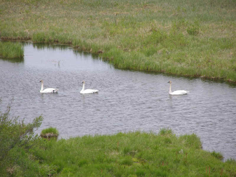
Trumpeter Swans beside the Denali Highway.
|
|
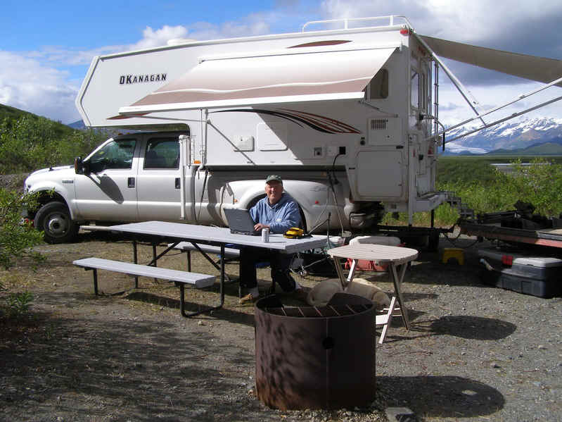
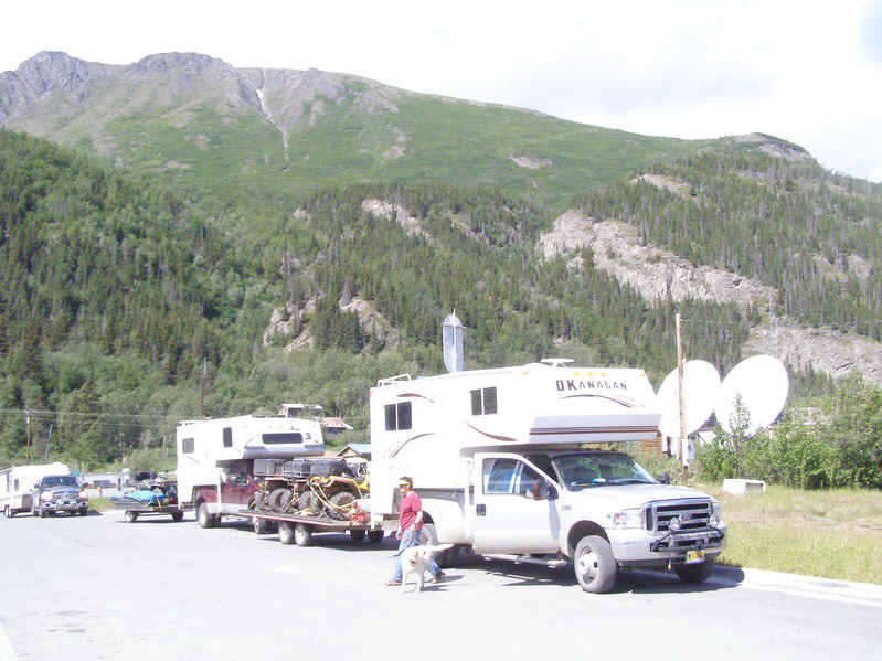
Yours truly checking email at the Maclaren Lodge at mile 42 on the Denali Highway. That's the Maclaren Glacier and the Alaska Mountain Range in the background.
|
|
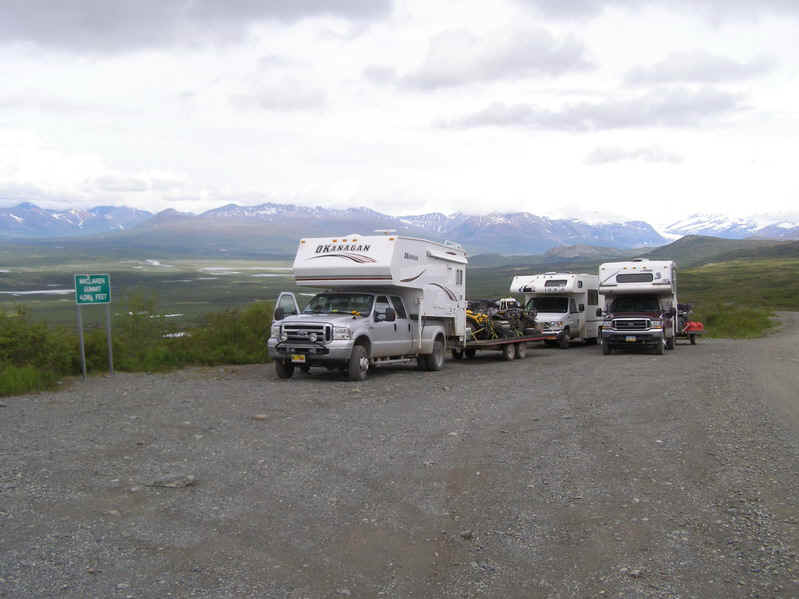
Leaving the Maclaren valley and going over Maclaren Summit on our way to McCarthy.
|
|
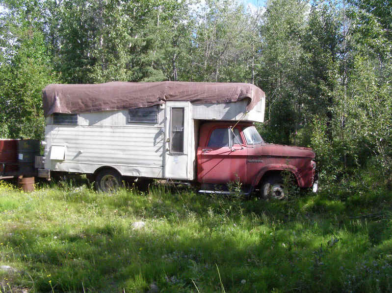
Motorhome? Camper? that has seen better days. This was parked at the King For A Day Campground we stayed out for one night on the Richardson Highway at the Klutina River.
|
|
The town of Chitina at the end of the Edgerton Highway and the start of the McCarthy Road.
|
|
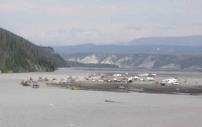
Subsistence fishing with fish wheels on the Copper River at Chitina. Just downstream from here residents may dip net for Red and King Salmon. The picture was taken from the Copper River Bridge at the start of the McCarthy Road.
|
|
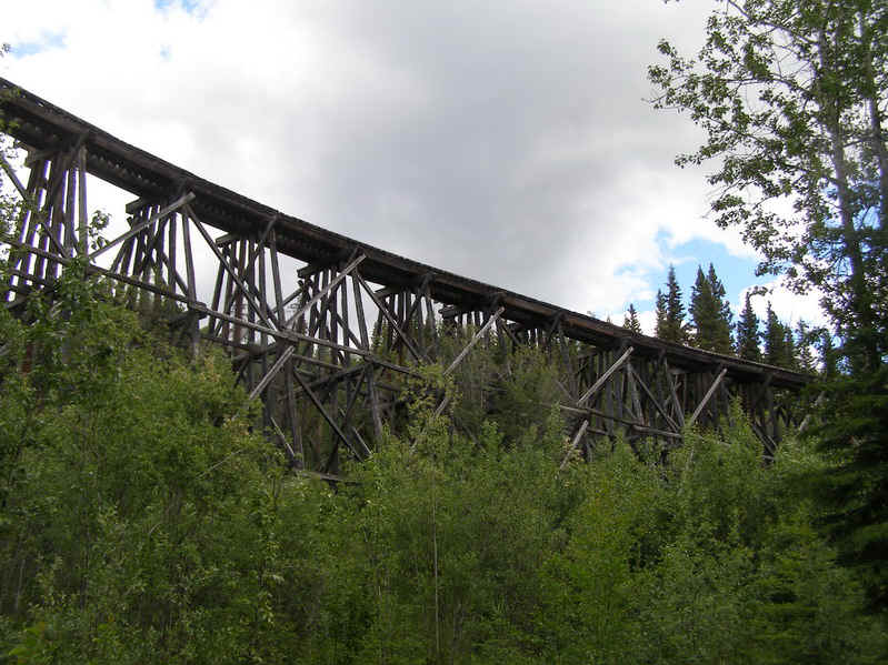
An old railroad trestle that was part of the railroad from Cordova on the Gulf of Alaska to the Kennecott Mine 4 miles past the Town of McCarthy.
|
|
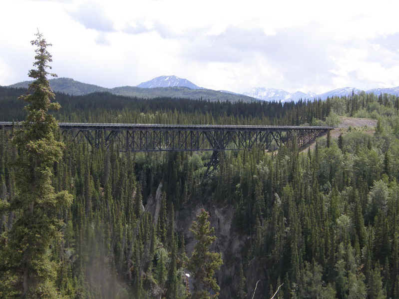
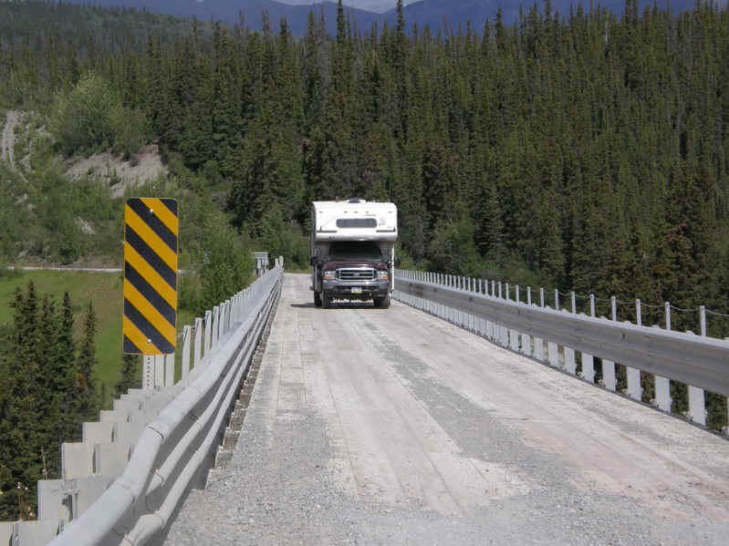
A steel railroad bridge across the Kuskulana River that is now an auto bridge. This bridge was built in 1910.
|
|
Tom and his Arctic Fox crossing the Kuskulana River Bridge. |
|
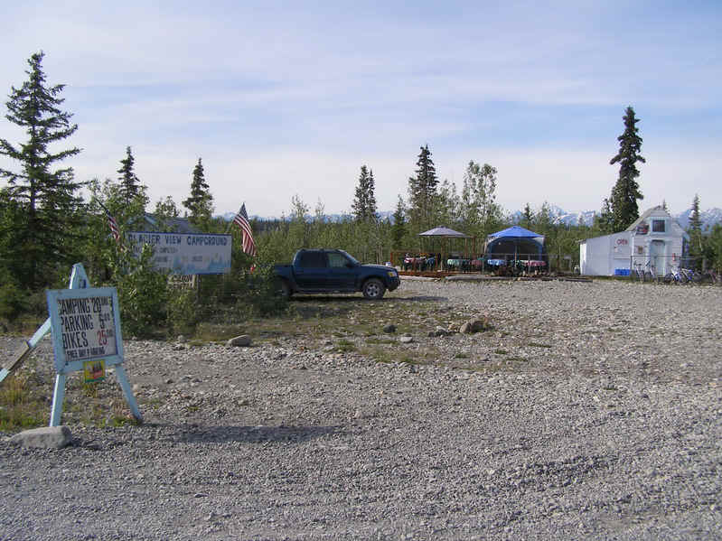
The Glacier View Campground at the town of McCarthy, our home for 4 days.
|
|
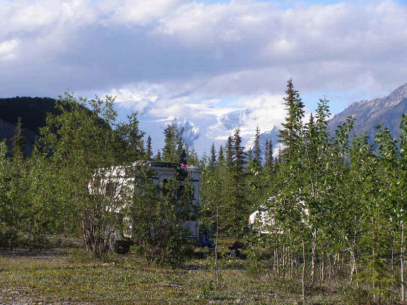
Our campground with the Ice Fall of the Root Glacier in the background.
|
|
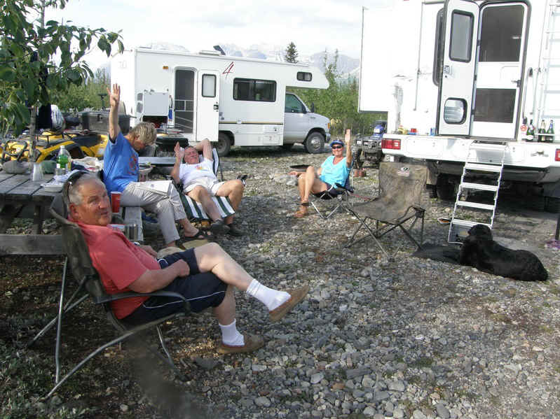
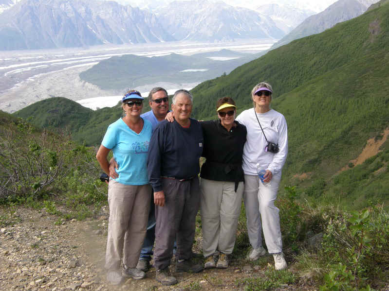
Our crew taking a break.
|
|
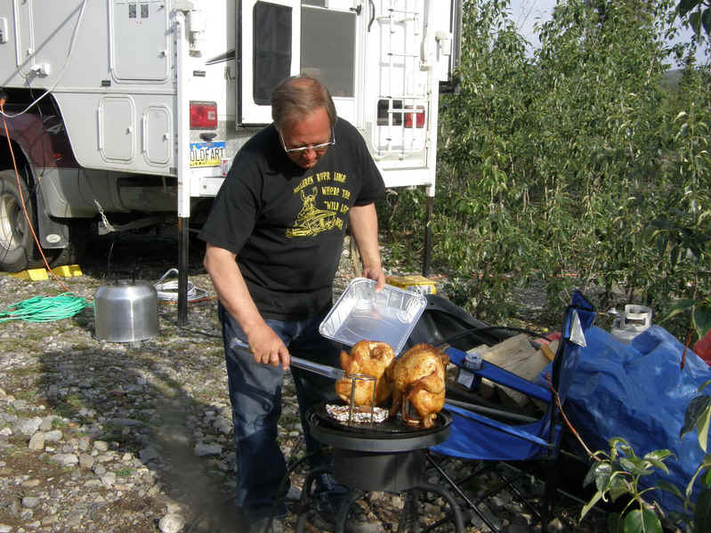
Tom doing beer butt chickens.
|
|
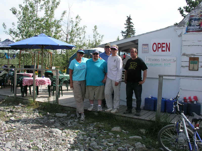
Our crew with our host Chris, in shorts, at the campground bar and grill. He put on a great fireworks display at midnight on the 4th. |
|
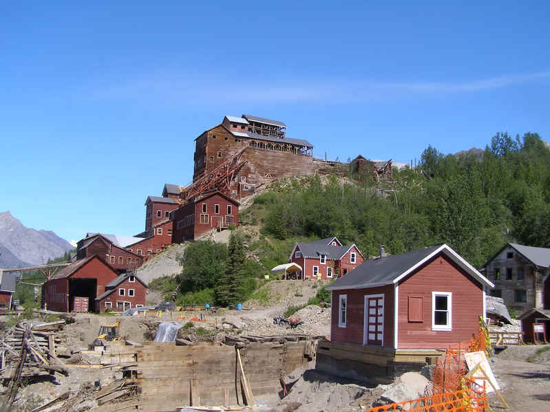
The old copper ore processing and concentration plant at the Kennicott Mine. This is part of the Wrangell-St. Elias National Park.
|
|
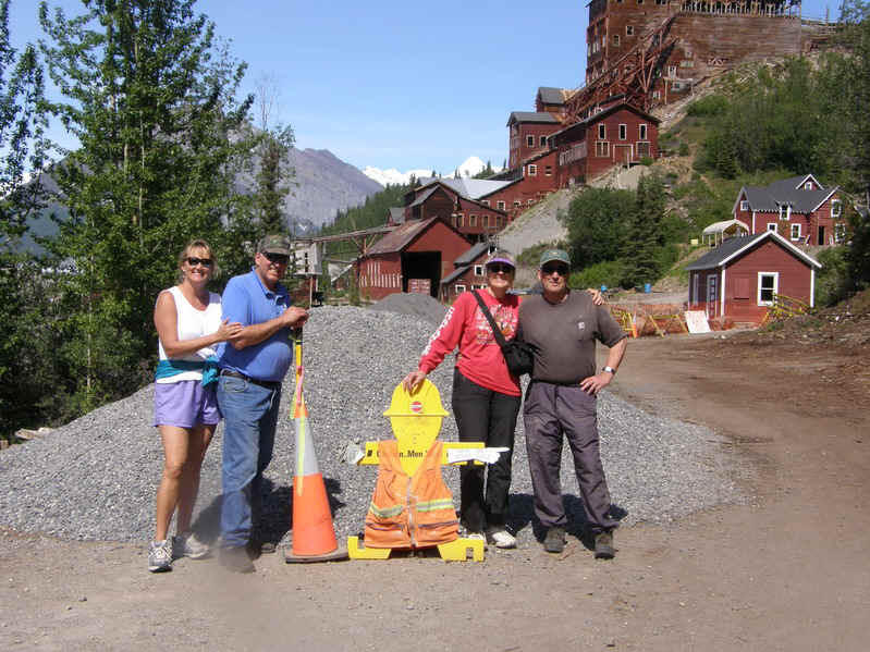
Part of our crew at Kennicott.
|
|
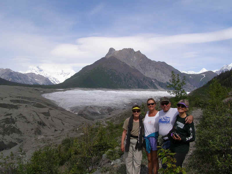
Hiking to the Root Glacier.
|
|
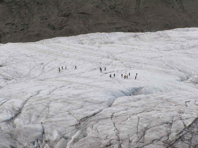
People exploring the Root Glacier. |
|
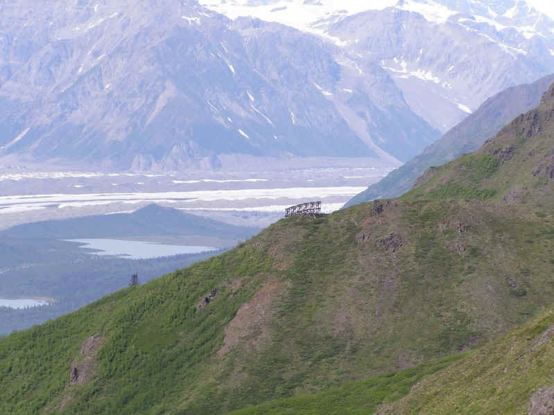
Towers that were part of a tram that hauled the copper ore from the tunnels high in the mountains to the processing plant.
|
|
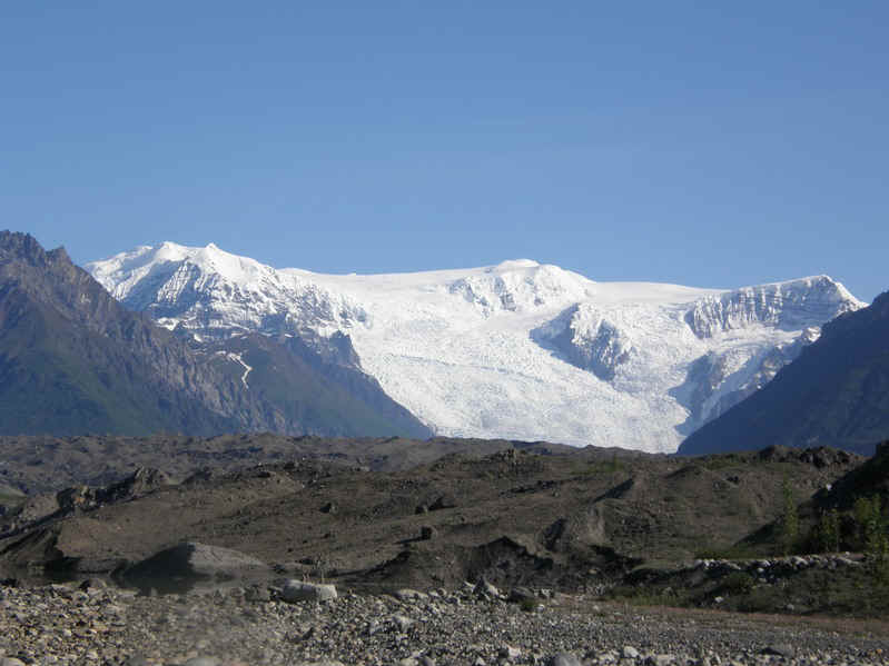
The Icefall on the Root Glacier with the terminal moraine of the Kennicott Glacier in the foreground.
|
|
High above the Root and Kennicott Glaciers near the Bonanza Copper Mine. We got here on our 4-wheelers on the old road that was used to access the mine.
|
|
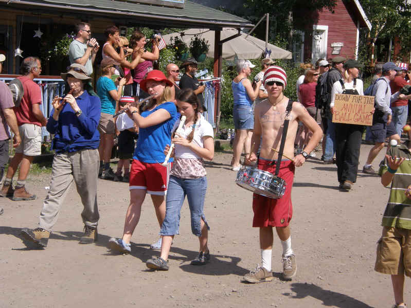
The McCarthy drum and fife corp. leading the 4th of July Parade. Yankee Doodle anyone?
|
|
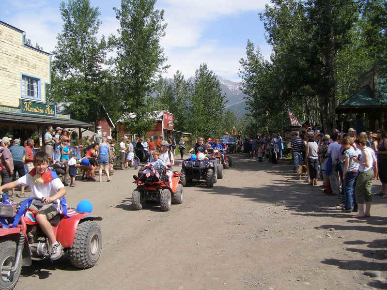
The 4th of July Parade, as you can see ATVs are popular here.
|
|
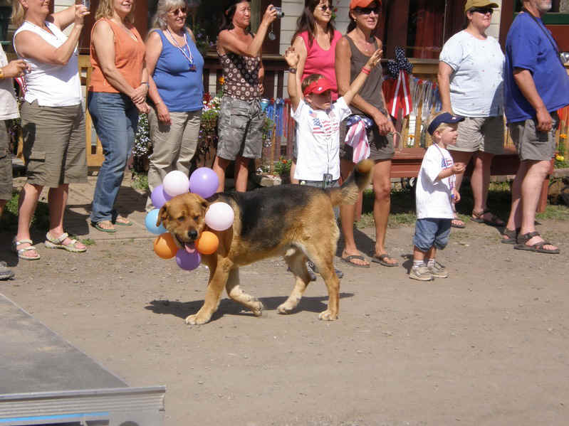
Even Fido can get in on the act.
|
|
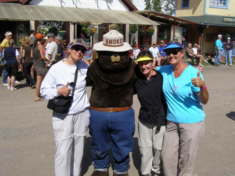
Our girls with Smokey.
|
|
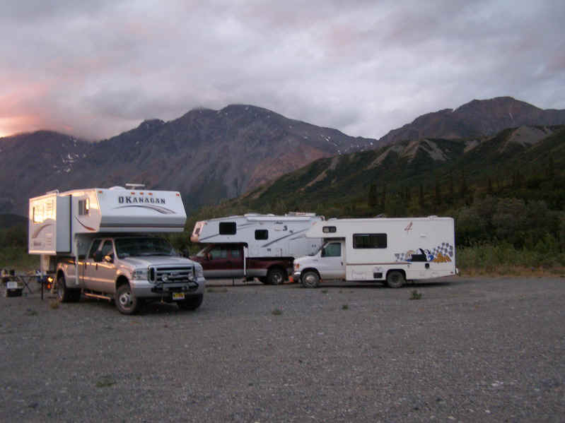
Camped on the Richardson Highway with Rainbow Ridge in the background on the way home to Fairbanks.
|
|
|